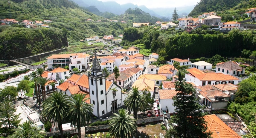
São Vicente has an area of 78.82 km² and 5723 inhabitants, subdivided in 3 parishes.
São Vicente was probably settled in the mid-fifteenth century, this part of the island was only later colonized due to it being rather hard to reach however, its soil proved to be very fertile.
The first locations to have been populated were São Vicente and Ponta Delgada.
Since the population of S. Vicente has grown exponentially since it’s establishment, this meant that it had to be separated from the Captaincy of Machico at the time. It was granted town status and independence from Machico by royal charter on 25 August 1774. The current parishes of Porto Moniz, Seixal, Arco de São Jorge and São Jorge were within their jurisdiction.
São Vicente is an excellent place to visit if you’re into Geology. The Volcanic Caves feature a great 3D presentation, showing you how the Island was formed and the type of rock and mineral formations that are present within Madeira. Stalactites and Stalagmites can be seen throughout the caves, a testament to how old the Island really is.
The Rota da Cal is also perfect if you’re into the history of Madeira, giving you a glimpse into how the old inhabitants extracted and processed limestone, to build their houses out of it.
The Levada Fajã do Rodrigues, starts in São Vicente and is na interesting Levada that has a small waterfall and short but dark tunnels. Great for a bit of adventure, as this walk is relatively short and easy.

