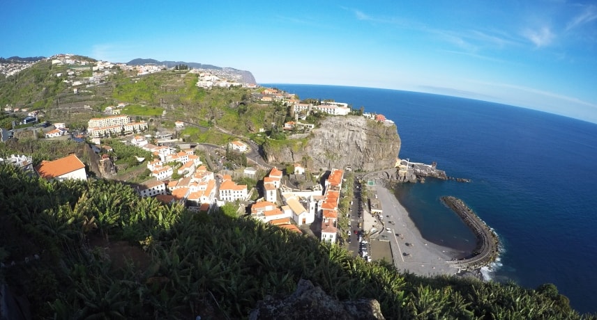
Ponta do Sol encompasses an area of 46.19 km² and has 8,862 inhabitants, divided into three parishes.
The settlement of Ponta do Sol was founded around 1425, shortly after the discovery of the island by Portuguese settlers coming from Minho, the Beiras and the Algarve.
Due to the fertility of its soil, Ponta do Sol has always had a strong agricultural component and, at the time of colonization was one of the most active agricultural production centres in Madeira, especially when it comes to sugarcane. Not oblivious to this, on 2 December 1501, by decree of King Manuel I, this small colony is elevated to village status and is granted a municipal council.
Since the beginning of its settlement, sugarcane has been the main economical source of the county, being used as a bargaining chip with the kingdom for other products necessary for everyday life, such as tools, textiles, salt, oil, and others.
In 1835, the parishes of Tabua, Ribeira Brava and Serra de Água, were added to the county, a fact that in 1914, after the establishment of the Republic, was reversed by the creation of the municipality of Ribeira Brava, ultimately decreasing the extension of Ponta do Sol. Becoming thus the smallest municipality in the Madeira Autonomous Region, a fact which still remains today.
Many churches are present around the area with a notable mention to the Igreja Matriz de São Bento, which features a beautiful clock on the external tower.
It’s also possible to find quite a few Levada walks in this parish, of which the Levada Nova – Rota do Açúcar, is highlighted since it makes use of the path that was used during the early days of the sugarcane farming.

